A PASSION FOR MAPPING
TOPOGRAPHIC SURVEYS
Topographic / Land Surveys
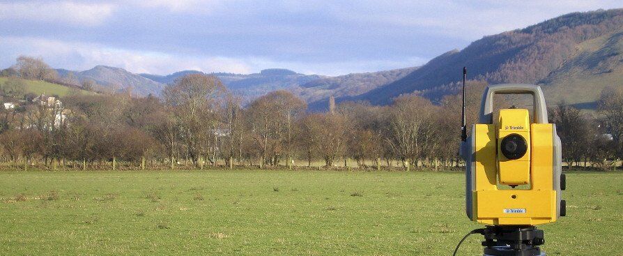
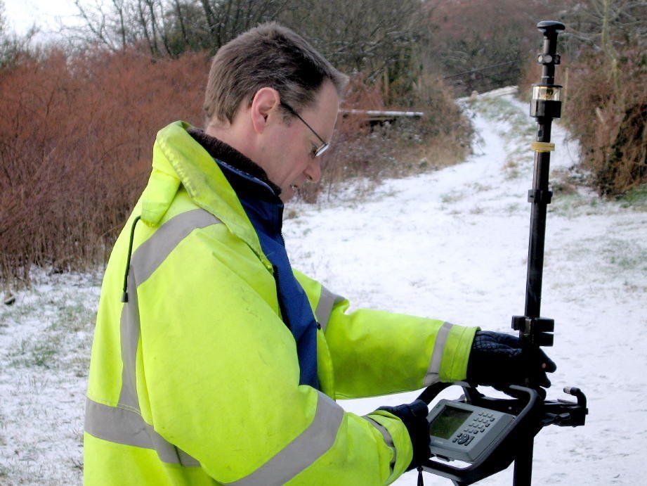
Using a modern Robotic total station or GPS I can provide clients with a highly accurate & detailed site survey. Showing boundaries, levels, utilities, trees, ditches, banks and all other fixed features. Inaccessible features can be positioned using non-contact methods. This is ideal for recording eaves and ridge heights of adjacent properties.
The site survey is processed using LSS Digital terrain modeling software. A powerful package that includes 3D data editing, plan and elevation drawing, volume calculations, cross sections and the ability to output data in all common digital formats such as DWG, DXF & GENIO in both 2D & 3D. Plans are normally delivered by email however plans can also supplied on paper or film.
Every site brings a new challenge, and every client a new requirement. Working together we can quickly draw up a site specific specification to meet your exact needs.
Examples of this type of survey are :
- As built surveys
- Site surveys
- Boundary surveys
- Large and small scale land surveys
- Volume surveys
- Cross section surveys
Typical survey locations:
- Private houses and gardens
- Industrial sites
- Roads and highways
- Brown and green field sites
- Schools
- Retail parks
- Quarries
- Docks
- Bridges
- Any other location, I like a challenge.
Cost effective Surveys throughout South & Mid Wales